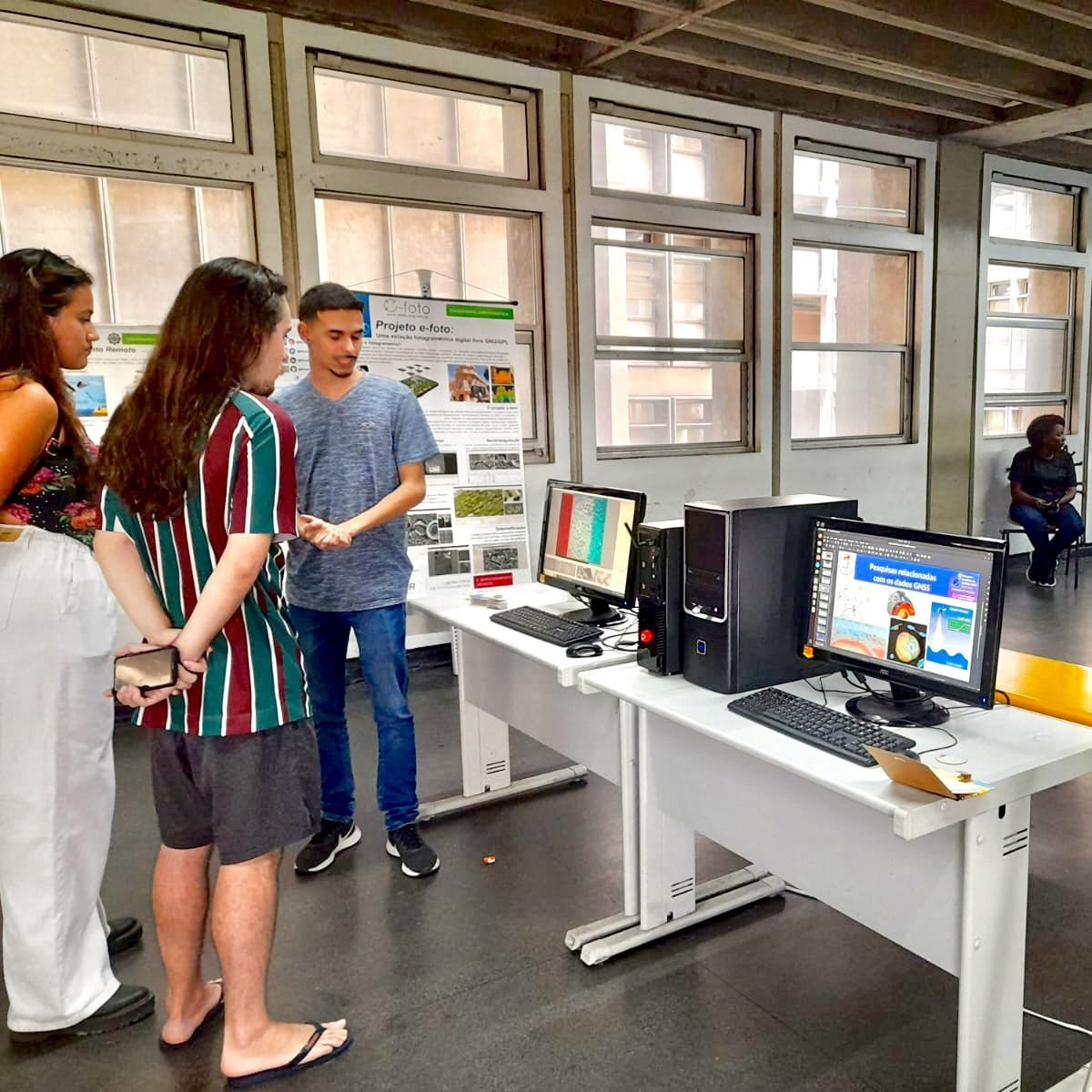
The extension project, titled "Remote Sensing Practices for Continuing Education," aims to work collaboratively with professionals and students to promote remote sensing within civil society. To this end, various remote sensing techniques are being applied in areas such as environmental monitoring, analysis of surface temperature variation, land use studies, and more, using images from passive and active orbital sensor systems. The primary goals of the project include not only evaluating the applicability of different orbital sensor systems but also training and equipping the students involved in the project, and subsequently disseminating the development of image processing and analysis methodologies to the general public. Information about the project has been shared through lectures in high schools and visits to relevant laboratories within UERJ. The development of web-based applications is planned to make this information more widely available, as well as the dissemination of data on specific platforms that could serve as a foundation for other academic studies in various fields that utilize spatial data of this nature. Finally, other forms of knowledge dissemination are also planned, including the creation of materials for training courses on Remote Sensing.