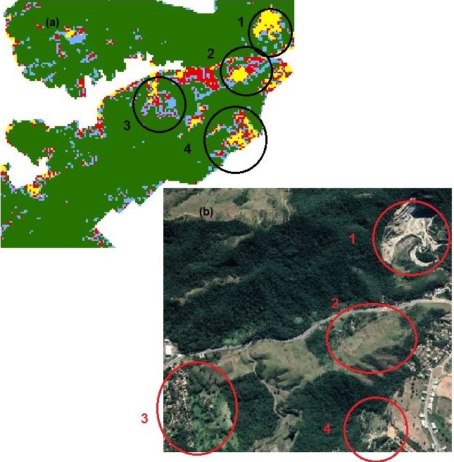
Since the 1960s, vegetation indices, which are dimensionless radiometric measurements indicating the relative abundance and activity of green vegetation, have been used in the extraction and modeling of biophysical parameters of vegetation (JENSEN, 2015). These indices are calculated from arithmetic operations performed on radiometry data from images obtained by remote sensors. In addition to vegetation indices, other indices such as humidity and built-up areas allow for complementary analyses of land use and occupation. Research conducted at the Photogrammetry and Remote Sensing Laboratory (LFSR) has focused on the use of indices of various natures to complement the semi-automatic classification of multispectral images from different remote sensors. Furthermore, information from the processing of thermal sensor image data has been included in the analysis, aiming to establish correlations between land use and the increase in surface temperature. Research in the field of geomorphometry, the science of quantifying analyses of the Earth's surface using parameters extracted from digital elevation models, is also underway in the laboratory to extract and classify landforms using the concept of geometric signature. These analyses will further enrich the understanding of phenomena occurring on the Earth's surface.


