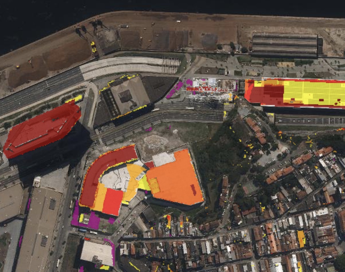
The SRUrb project aims to integrate Remote Sensing technologies (photogrammetric or not) into applications for Urban Planning and Multipurpose Land Cadaster. Examples include the use of LiDAR and high-precision photogrammetry for identifying plots and additions to buildings, as well as the identification and classification of tree specimens and the precise delineation of conservation units and environmental preservation areas.